Streamline Your Industrial Projects with Professional Drone Services
Proudly Serving the Gulf Coast
Baton Rouge Drones delivers professional, customized aerial solutions built on accuracy, safety, and clear communication. We provide reliable data and practical results while making complex projects easier to manage.
Here to Serve. Here to Solve. Here to Streamline.
Aerial Site Documentation for Commercial and Industrial Ops
We deliver high-precision aerial data designed specifically for industrial facilities, energy infrastructure, and complex construction sites across Louisiana and Mississippi. Our operations prioritize safety and compliance, backed by critical certifications like TWIC, MSHA, and OSHA. From pipeline monitoring to massive stockpile measurements, we provide clear insights that streamline your workflow without disrupting daily operations. Contact us today at (225) 224-3277 to schedule your free consultation.

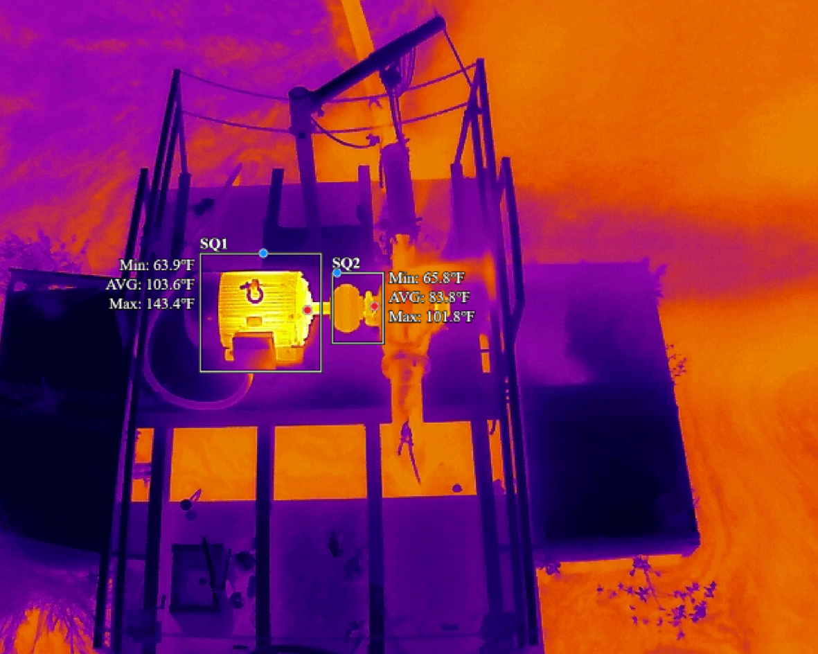
Comprehensive Construction Drone Monitoring & Thermal Drone Inspections
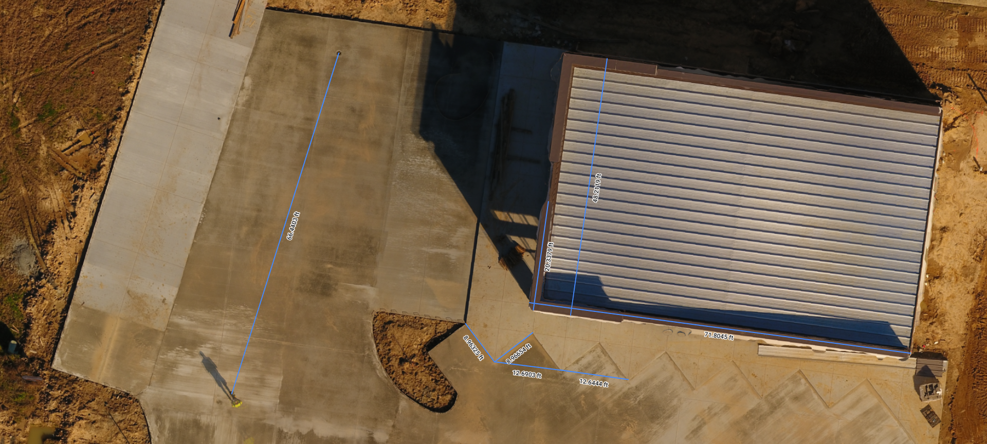
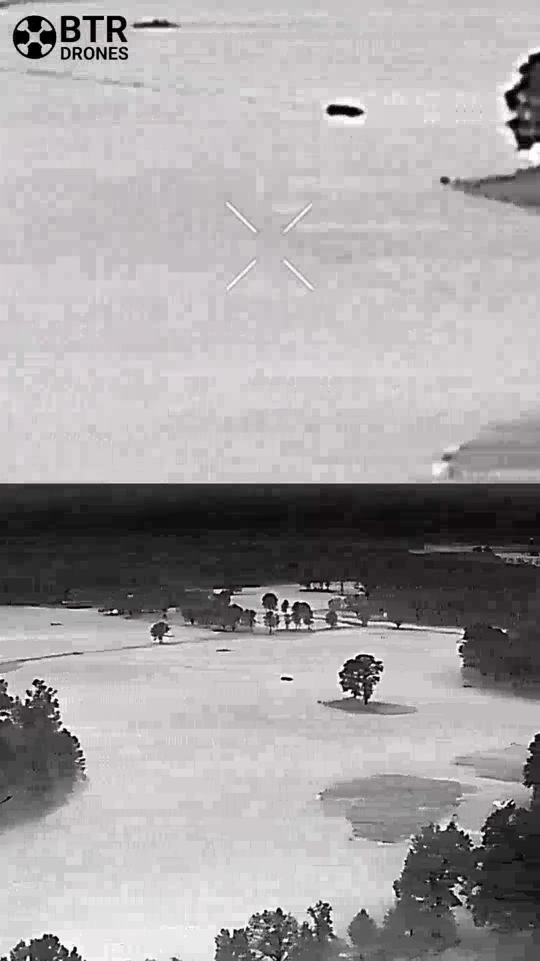
Baton Rouge Drones provides advanced thermal imaging and construction monitoring to uncover critical details, track project progress, and deliver clear, actionable visual data. Our professional drone services help identify equipment issues, detect heat signatures, locate lost assets, create orthomosaics, and document every stage of development. With accurate aerial insights, contractors, property owners, and stakeholders can make informed decisions, stay aligned, and address potential problems before they become costly setbacks.
Streamline Workflows Using Professional Drone Services
We deliver advanced professional drone services tailored specifically for commercial and industrial applications. Our expert team leverages high-end technology to gather crucial aerial data that helps facility managers, engineers, and developers make informed decisions quickly. Whether you need precise aggregate measurements or complex progress tracking, our specialized flights integrate seamlessly into your workflow. We focus on providing clear, useful insights with absolute minimal disruption to your daily operations.
Calculate Inventory With Drone Stockpile Measurement
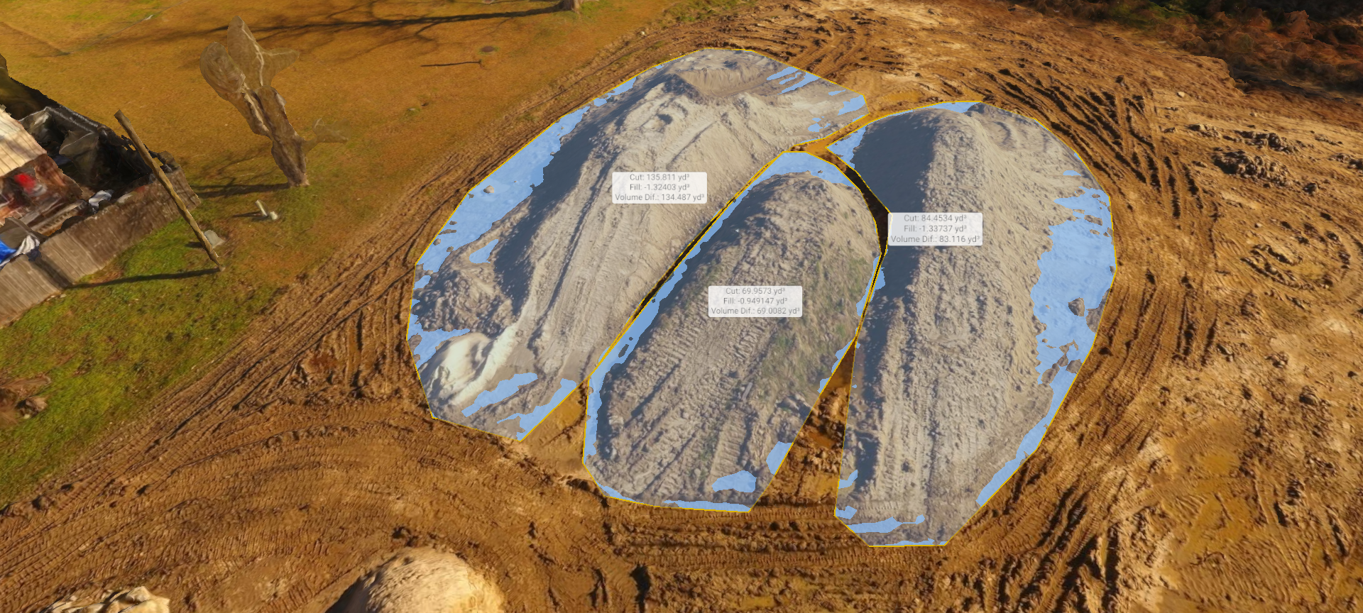
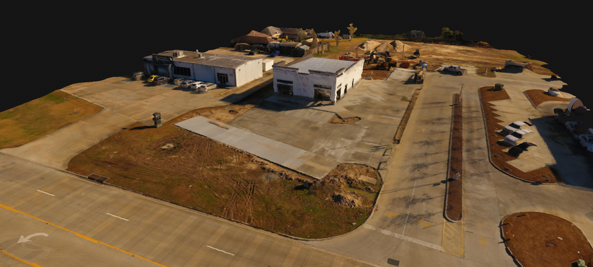
Tracking raw materials manually takes significant time and often results in rough estimations rather than hard facts. We provide accurate drone stockpile measurement to calculate aggregate volumes, track production rates, and streamline inventory management. Our commercial clients receive precise 3D models that eliminate the guesswork from earthwork and mining operations. By implementing our professional drone services, plant managers gain reliable metrics to optimize their supply chains effortlessly.
Showcase Your Properties With an Engaging Aerial Marketing Video
Standing out in a highly competitive industrial real estate market requires showcasing your assets from breathtaking vantage points. We produce engaging aerial marketing video content focused entirely on highlighting the scale and capability of your commercial facilities. These dramatic cinematic sweeps instantly grab the attention of potential corporate buyers and investors. We expertly edit this stunning footage to emphasize the absolute best-selling points of your regional commercial property.
Stay Compliant With Efficient Pipeline Drone Inspection
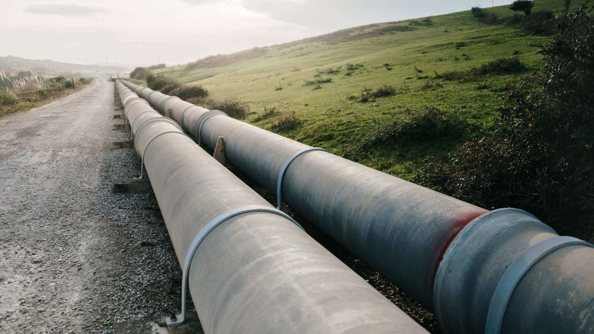
Overseeing miles of critical energy infrastructure demands a proactive approach to prevent leaks and structural failures. We perform efficient pipeline drone inspection routines to monitor rights-of-way and document environmental changes over time. By utilizing top-tier multispectral payloads and leveraging a vetted network of regional pilots, we cover vast distances quickly. Our professional drone services offer energy sector leaders the necessary documentation to maintain compliance and avoid costly downtime.
Mitigate Hazards Utilizing Industrial Drone Inspections
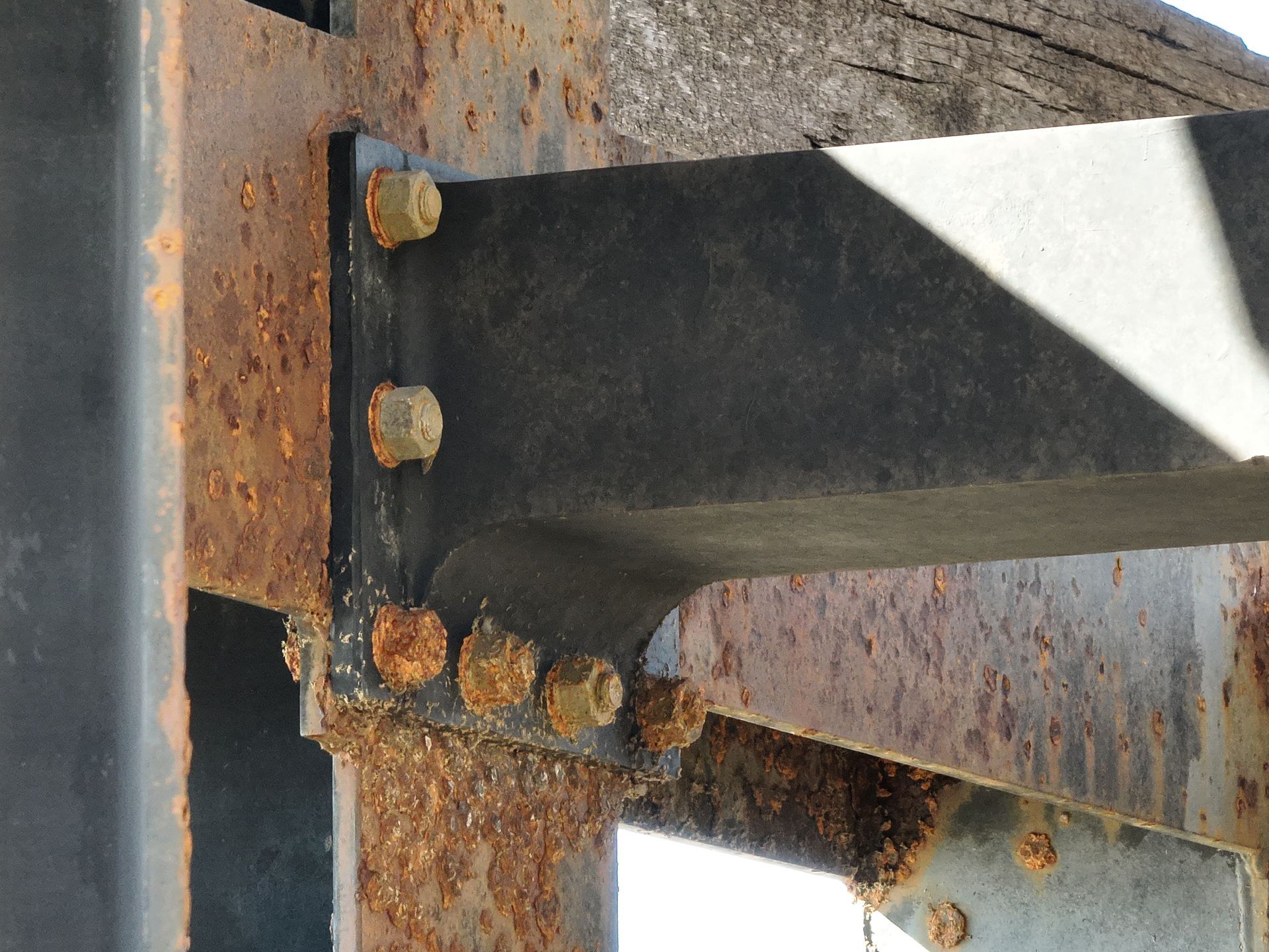
Maintaining massive facilities requires immense attention to detail without putting personnel at risk. We conduct safe industrial drone inspections to examine hard-to-reach commercial infrastructure, refineries, and manufacturing plants. Because our team holds TWIC and OSHA certifications, we navigate strict regulatory environments seamlessly. Choosing our professional drone services ensures that you receive high-resolution imagery and rigorous technical findings, allowing your maintenance crews to address structural concerns safely.
We Excel at Drone Mapping & Drone Surveying Services
Our forensic engineering background guarantees that our professional drone services deliver unmatched accuracy, absolute safety, and serious operational efficiency for your most demanding commercial projects.
- Fully insured and FAA Part 107 certified operations
- MSHA, OSHA, Basic Orientation Plus, and TWIC certified
- Insights for architects, engineers, and industrial developers
- High-end rental equipment available for specialized daily usage
Have questions for us?
Frequently Asked Questions
If you don't see the information you need, feel free to reach out to us.
Why is Baton Rouge Drones so popular?
At Baton Rouge Drones, we have built a strong reputation by delivering high-quality, professional drone services tailored to industrial and commercial clients. Our popularity stems from our rigorous engineering-minded approach to aerial data collection, ensuring that businesses across the Gulf Coast receive accurate and actionable insights. We do not just fly; we provide specialized drone services that streamline your workflows, from stockpile volume measurements to detailed thermal inspections. By choosing our drone services, you are partnering with a certified team that understands the safety and technical demands of complex jobsites. Our clients trust us because we consistently deliver reliable drone services without overcomplicating the process. Whether you need construction progress mapping or industrial facility documentation, our top-tier drone services are designed to minimize your operational downtime while maximizing data precision. Let us show you how we solve site challenges safely, efficiently, and with the highest professional standards.
Where can I find the best drone services on the Gulf Coast?
If you are looking for top-tier drone support in this region, we offer professional, FAA Part 107 certified aerial solutions tailored specifically for commercial, industrial, and land management projects. Our team brings forensic engineering precision to every mission, providing high-resolution orthomosaics, 3D modeling, and thermal inspections that match the highest safety standards. With credentials like TWIC, MSHA, and OSHA compliance, we are fully equipped to operate safely on complex industrial sites and remote properties alike. We focus on delivering clear, accurate data with minimal disruption to your daily operations, making us the premier regional choice.
How can commercial drones help with aggregate stockpile measurement and construction tracking?
Commercial drones revolutionize construction and material tracking by generating highly accurate 3D models and orthomosaics. Instead of using slow, manual surveying methods that disrupt your site, our aerial technology captures precise volumetric data of aggregate stockpiles in minutes. This allows project managers to track production, monitor daily progress, and verify earthwork volumes with exceptional accuracy. By implementing these regular aerial scans, you get clear visual updates and precise measurements that keep your projects on schedule and within budget, all while keeping your ground personnel safely out of harm's way during active operations.
What equipment options are available for short-term professional drone rentals?
For organizations that need high-end aerial equipment without a significant upfront capital investment, we offer flexible professional drone rentals. You can rent advanced platforms like the Mavic 3 Enterprise, Mavic 3 Thermal, Mavic 3 Multispectral, or Phantom 4 Pro V2 systems directly from our office. We also provide critical accessories, including RTK modules and specialized surveying gear, for daily or weekly use. This rental service is ideal for engineering firms, surveyors, and environmental consultants who require cutting-edge mapping, thermal imaging, or agricultural analysis capabilities to successfully complete specialized, short-term regional projects.
What safety and professional certifications do your drone pilots maintain?
Safety is our absolute priority, especially when operating around heavy machinery, pipelines, or active industrial complexes. Every pilot on our team is fully licensed under FAA Part 107 regulations. Furthermore, we maintain specialized credentials required for secure and hazardous sites, including TWIC cards, MSHA certification, OSHA training, and Basic Orientation Plus. Whether we are mapping a municipal landfill, inspecting a chemical plant, or documenting a pipeline corridor, we operate with strict professional standards and carry comprehensive insurance coverage to give our clients complete peace of mind on every single job.
How does your regional drone pilot network support large-scale or multi-site projects?
We manage a selective, personally vetted network of professional drone pilots across Louisiana, Mississippi, and Texas. This regional network allows us to rapidly scale our operations to support large, time-sensitive, or geographically dispersed projects without sacrificing quality. When you have multiple sites that need simultaneous progress monitoring or emergency thermal inspections, we deploy trusted subcontractors who strictly follow our workflows and safety standards. You benefit from seamless coordination, rapid response times, and consistent, high-quality deliverables, while dealing with only a single point of contact for all your billing, scheduling, and data management needs.